Arriving in Denver after a long day of driving was a welcome change. After the endless wide open and sparsely populated great plains, being in a big metro area felt good and reassuring. Orit has a friend that lives here who arranged for us to stay at the in-law unit of her friend. That was probably the nicest unit we stayed in during our trip, and though the hosts wanted no payments, Orit suggested that we prepare brunch for everyone on Saturday morning as a token of appreciation, which ended up being a lot of fun. But this evening we still had plans - Orit’s friend invited us to join her for St Paul and the Broken Bones, with an opening act by Danielle Ponder. During the show I felt so tired that I thought I might be coming down with something. Then our friend reminded us that Denver is at altitude and instead of resting upon arrival we instead immediately went out to dinner, had a glass of wine and went to the show. I guess I’m getting old and should slow down a bit, at least when making the transition to places with lower concentration of oxygen in the air…
The show was pretty good, and definitely opened my ears to soul music. But the real discovery was the opening act - Danielle Ponder. She was really really good, and her rendition of Radiohead’s “Creep” was simply incredible.
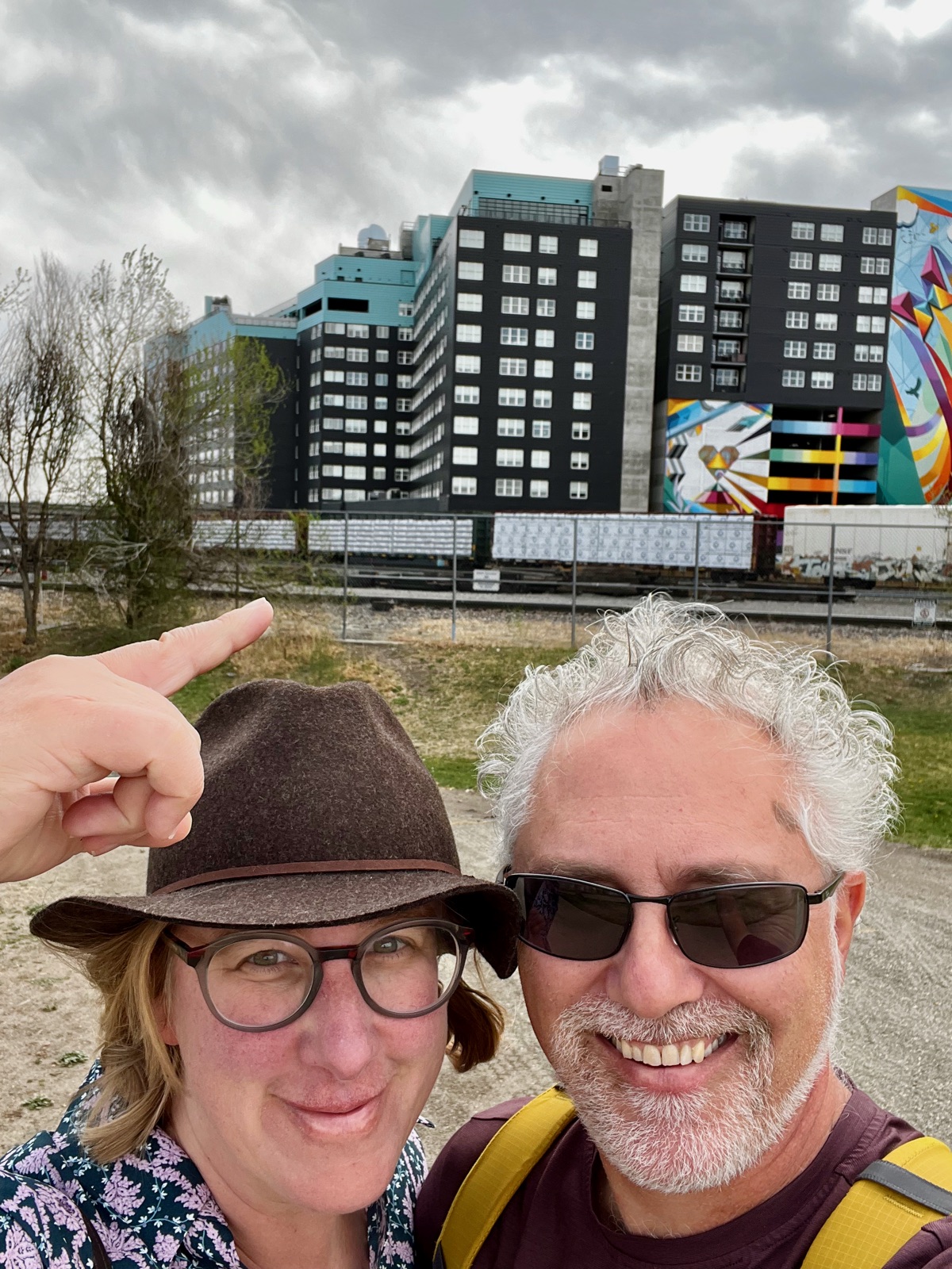
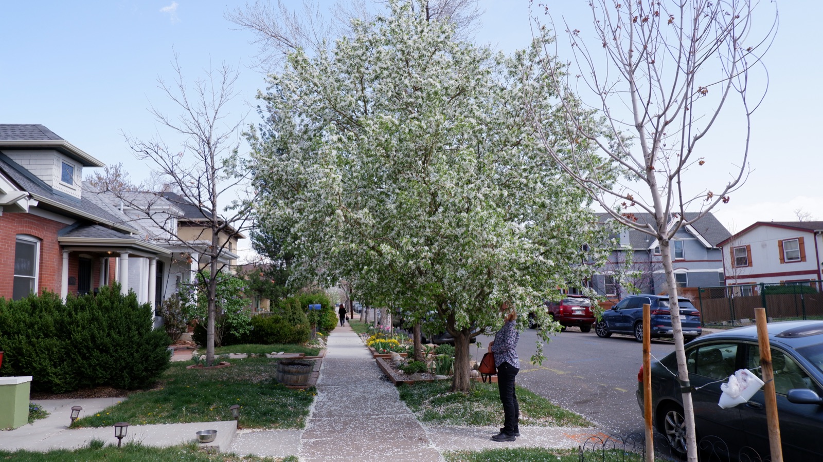
Denver has a great vibe. It feels alive and growing. There seem to be lots of young people here, all with dogs or bicycles or both. There are areas where people want to spend time together - a shopping district, a museum district, a lake with a park around it, a new urban neighborhood with bike paths along the river. It was fun to explore here. Oh, and our place was right around the corner from Maria Empanada, an amazing Argentinian cafe which we made me very happy. There is nothing better to start a day than freshly made empanads and alfajores.
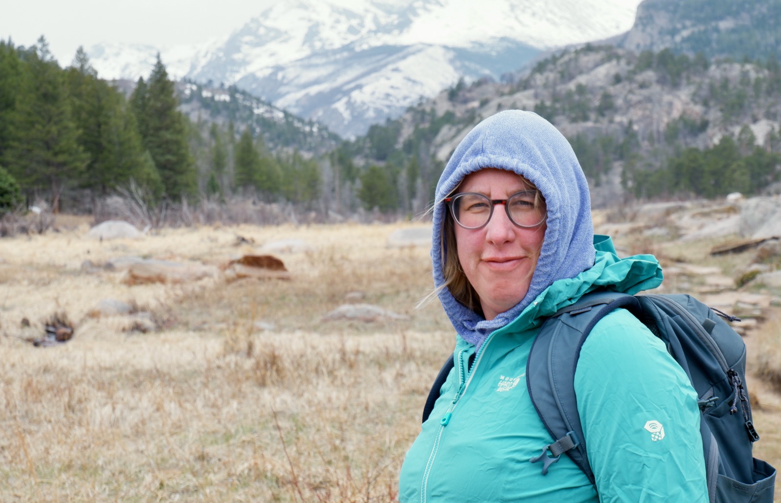
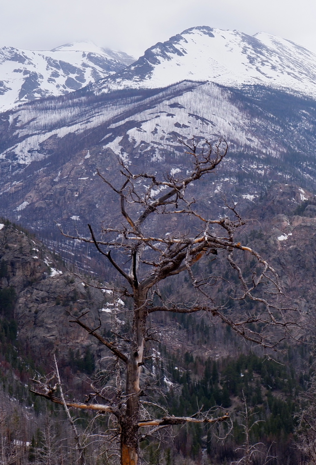
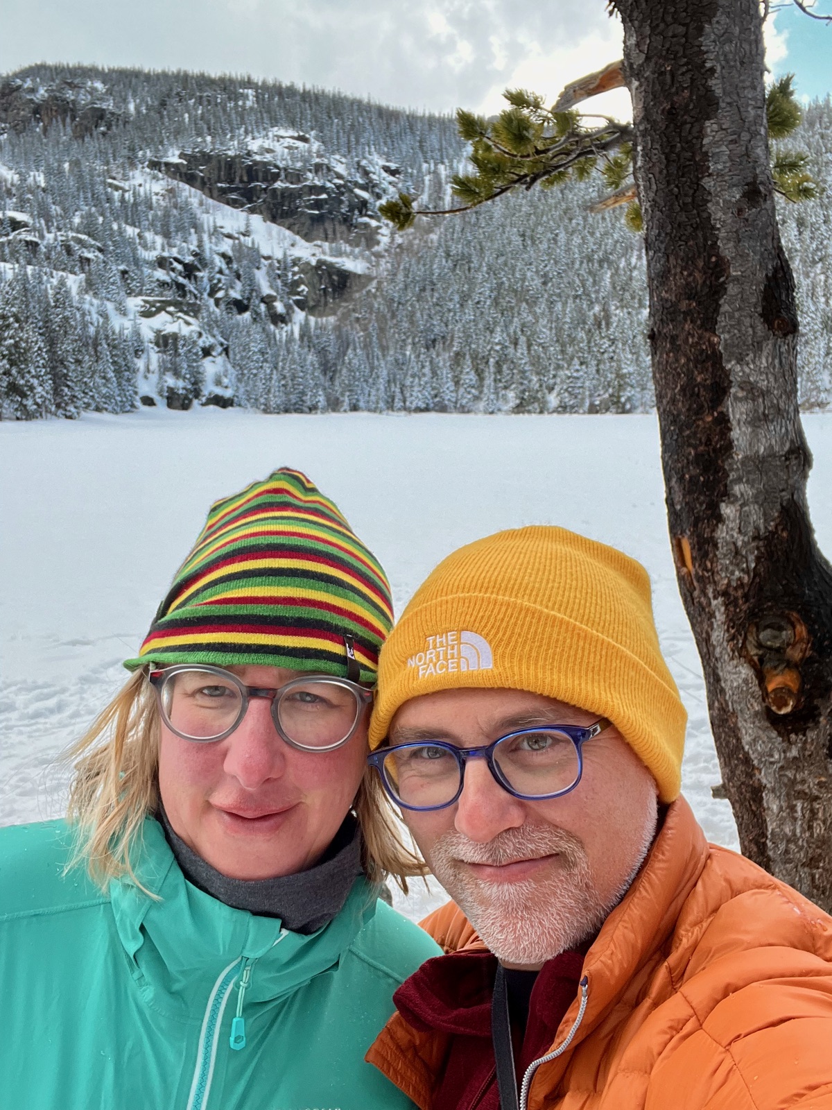
From Denver we continued on to Estes Park, to visit Rocky Mountain National Park. As we were driving west towards the park, a storm was slowly making its way east from the west coast and was forecast to arrive in the area at night. We arrived in the afternoon and went on a hike at one of the lower altitude trail in the park, because most of the other trails were still covered in snow and require crampons or other snowy weather equipment which we didn’t have (note to self - crampons don’t take up much space but open up a lot of possibilities…). The trail was a 6 mile loop, and parts of it go through an area which was severely burned by a large fire about a year ago, but even so it is really pretty. There are nice views of the higher snow covered peaks in the park. Towards the end of the hike the storm made its appearance with little snow flurries and then with steady rain.
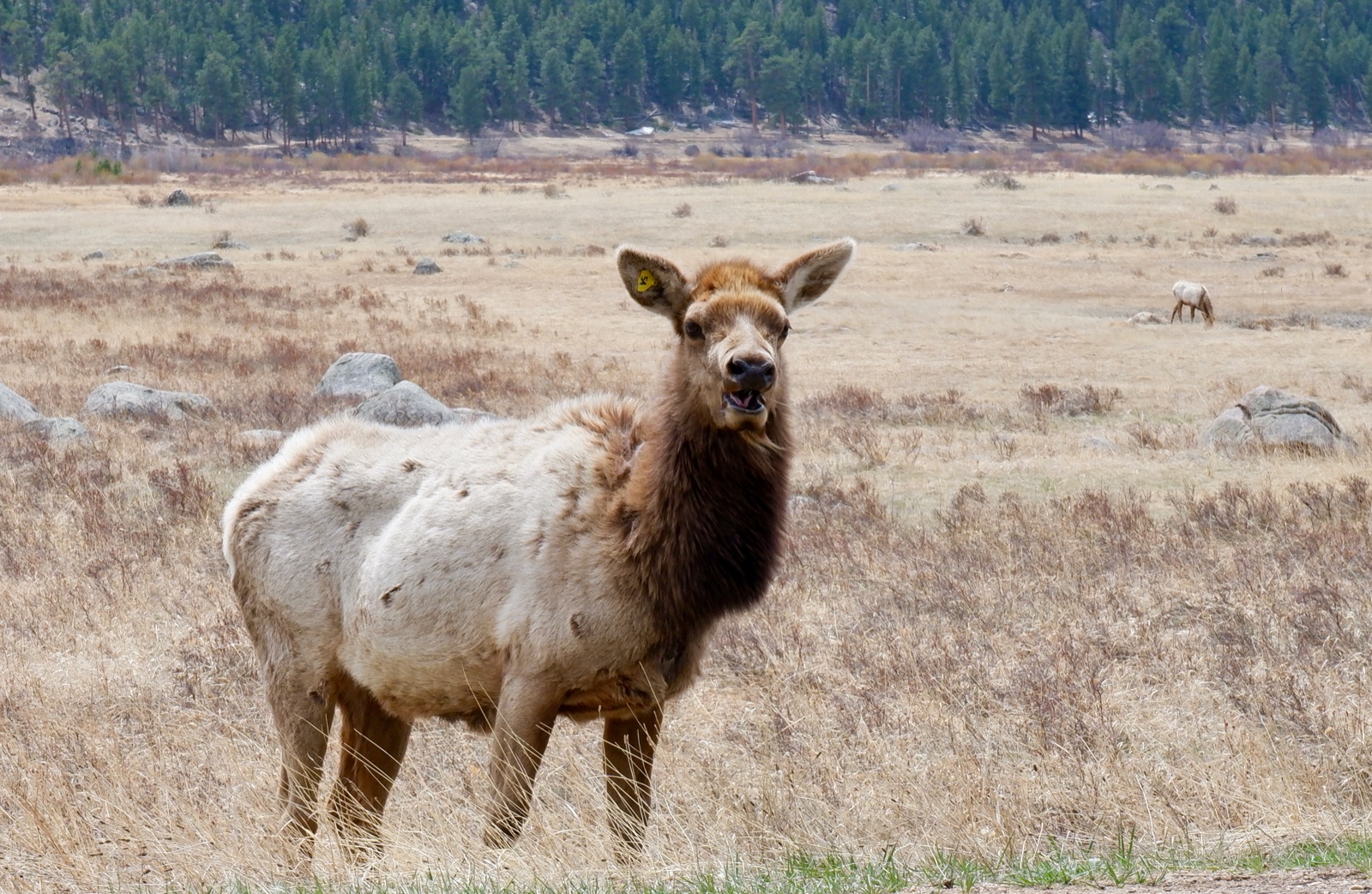
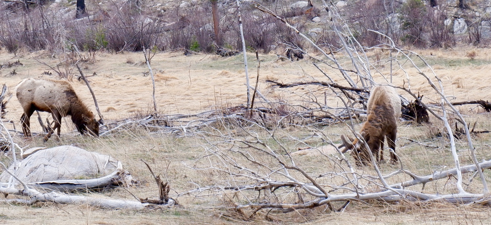
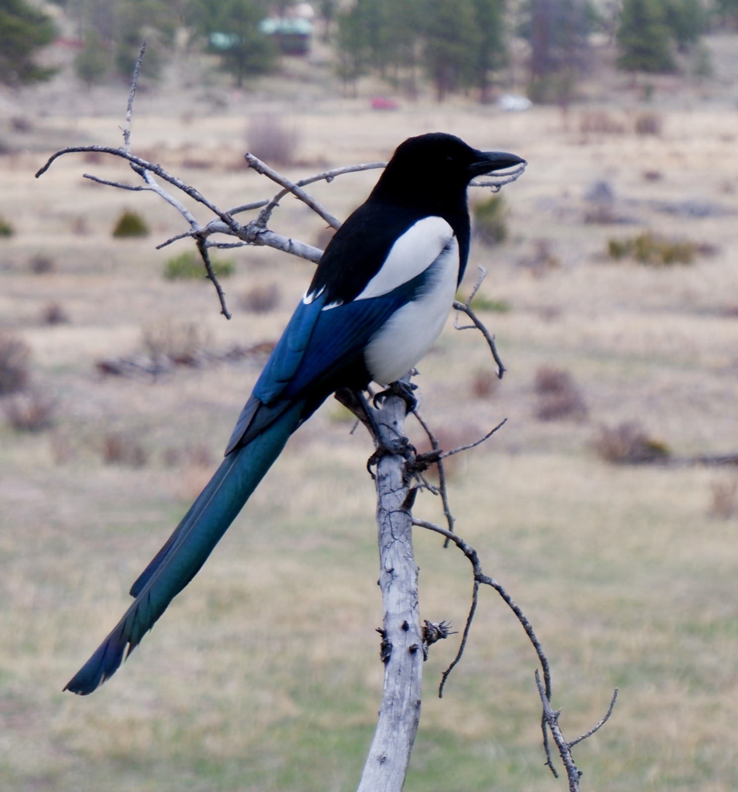
Driving around in the park we saw lots of wildlife. Especially abundant were two types of deer-like animals, and reading about them on Wikipedia it seems like they were Wapiti (also known sometimes as Elk) and Moose (which, confusingly, is called Elk in Europe). At some point when we sat down to eat an especially good smelling sandwich, a hungry bird showed up and came really close, hoping to get some crumbs, allowing me to take a really close up photo.
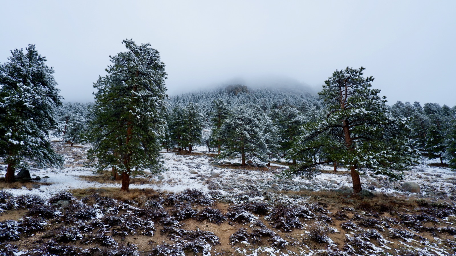
The next day we planned to go on another hike, and the forecast was calling for the snow to diminish during the morning hours, and for no snow accumulation to occur from the overnight snow. Ha! We woke up to a snow covered landscape, with pretty consistent snow continuing to come down. During the morning it turned to rain, but we were definitely not going to go out in this weather. Luckily our Airbnb had a hottub and good internet.
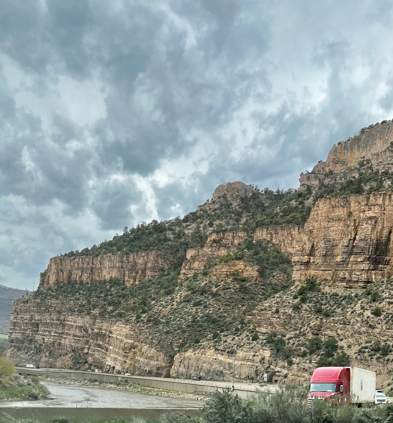
We finally left Estes Park the following day and formally began the last leg home, which would consist of several long drives to cover the roughly 1200 mile distance. The first day we drove south along the rockies to I-70, and then took it through the rockies heading west. Normally we would try to avoid the interstate, but at the end of April most other passes are closed. And we worried about the interstate unnecessarily - I-70 is a beautiful drive west of Denver. The road makes its way along the Colorado river, winding its way through the rockies. There are a number of tunnels, including one that crosses the continental divide and is the longest and highest elevation tunnel in the entire interstate system and is named after Dwight D. Eisenhower, the U.S president that created the interstate system. Eisenhower came up with the idea for the interstate system when he was the supreme commander of the allied forces and toured occupied Germany at the end of WWII, and was impressed by the autobahns.
That night we stayed in a Airbnb tiny house in Fruita, CO - it was 198 sq. ft. / 19 m2. We enjoyed a quick hike near the Colorado - it would be our last encounter with it as it continues south and we continue west - as well as some nice pizza and good beer. The next morning we spent a long time chatting with the barista at the small coffee place where we stopped before hitting the road. It was yet another instance of things are not what they seem, she is from Missouri and went to school in Arkansas, in the Ozarks, and knew Eureka Springs very well. Turns out she had a really interesting program which included a class with a Tibetan monk, who also took the whole class on a study abroad trip to India to interview survivors of the Chinese occupation of Tibet. I never thought that combination was possible in middle America.
This was our longest driving day. We covered nearly the distance between San Francisco and Los Angeles, driving all the way to Baker, Nevada. Parts of the drive were flat boring desert, but a good chunk of it was in the now familiar landscape as Capitol Reef, which lies a few tens of miles to the south. Other parts were smaller mountain ranges, some of the same ones we saw on our way out as we were driving through Utah’s national parks. For a brief 20 miles or so we actually drove on the same road as when we were on our way out because we took I-70 east for a short time on the way to Moab.
We stopped for lunch at a small local cafe in a small town somewhere along Highway 50 in Utah. The place was clearly not a tourist place, and everyone else was local. The cashier was so bored, she seemed so done with her work. The other customers all talked about agriculture stuff, and were obviously some kind of farm workers in the middle of their day.
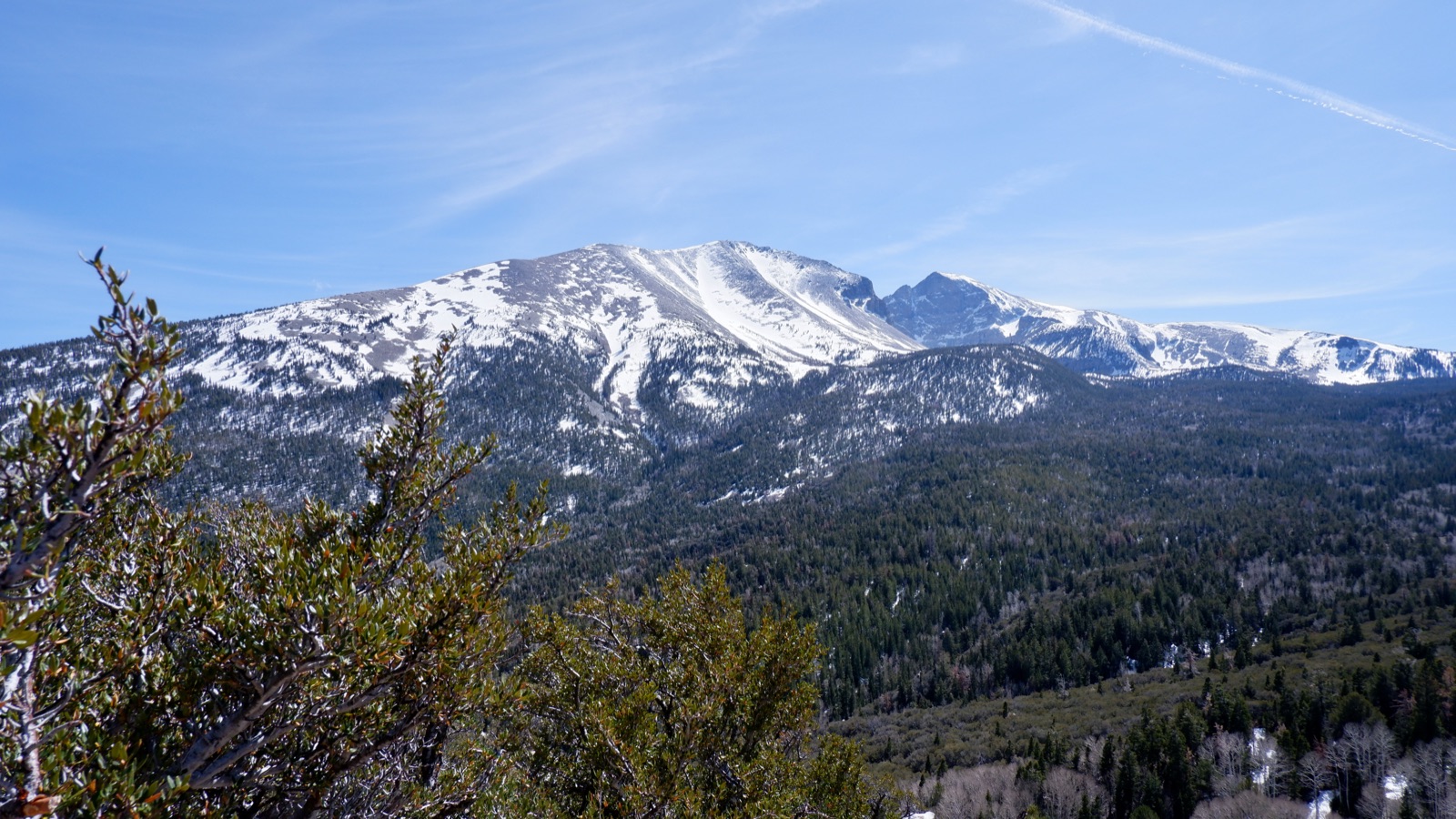
We arrived in Baker, NV in the late afternoon, with time for a short hike in the nearby Great Basin National Park. After the hike we stopped to make coffee in a picnic area with a view, and met a Canadian couple who were traveling for for a few months in the U.S in a modified school bus that they turned into a camper van. We chatted with them for a long time and realized we visited many of the same places. The camaraderie of fellow long haul travelers is always fun, and sharing tips on where to go and where not to go is one of the best parts of it. They are also headed to California, though are going to take their time to get to SF. We exchanged contact info and hopefully will see them again when they are nearby.
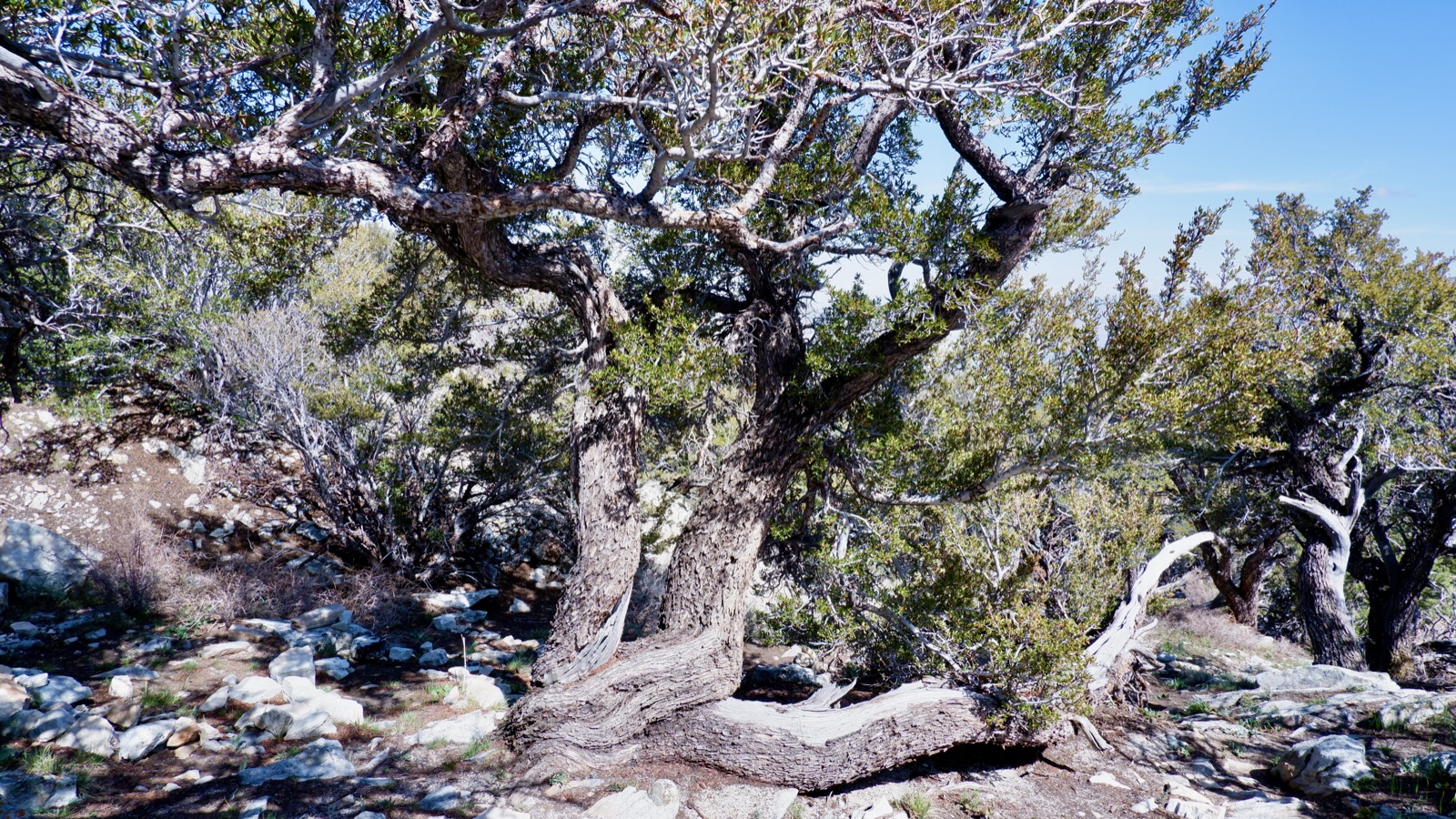
Baker itself is a tiny tiny little town with less than 60 inhabitants that is mostly geared towards passing travelers who primarily stop here while visiting the nearby national park. Our hotel room was probably the worst room we slept in the entire trip. It was tiny, and poorly insulated. We could hear the neighbors snoring and moving about their room. The heating was basically the inside of a water heater - a long gas powered pipe with an always on pilot light. Having an open flame inside a closed room is a huge risk of carbon monoxide poisoning, and because there was no carbon monoxide detector in the room, we slept with the window open and the heat way down. Which made the room cold… so we brought our wool camping blanket inside. Problem solved.
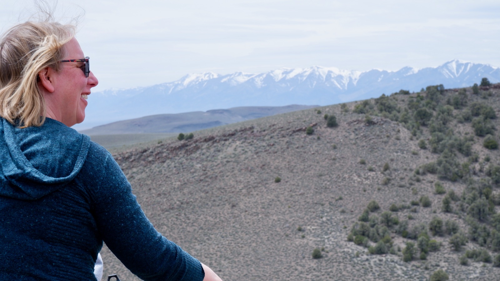
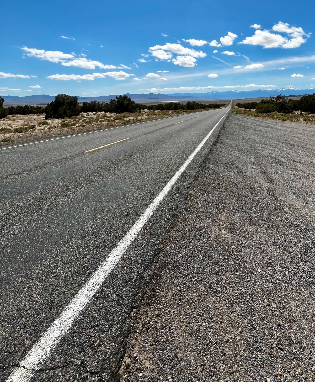
The next drive was basically through the entire state of Nevada on Highway 50, all the way to Stateline, a very creatively named town right on the California / Nevada state line. U.S 50 is a beautiful road going up and down through high desert valleys and roughly following the path of the short lived and much romanticized 19th century Pony Express, one of the first reliable mail routes to California. It also follows the path of the Lincoln Highway, the first transcontinental highway from 1913, the road that Eisenhower travelled as a young Army officer, an experience which also helped plant the seed for the interstate system in his mind. After an uneventful night there we continued on U.S 50 through the scars of the massive fires that burned through the Lake Tahoe area last year, with several long stops due to roadwork where crews were still dealing with the aftermath of the fire, clearing burned trees or fixing the damaged road. Some chimneys were still standing in places where houses once stood, an eerie reminder of the devastation that took place here just a few months ago. We managed to do a nice little hike in the outskirts of Desolation Wilderness, but there was too much snow on the ground for us to go very far (crampons, anyone?).
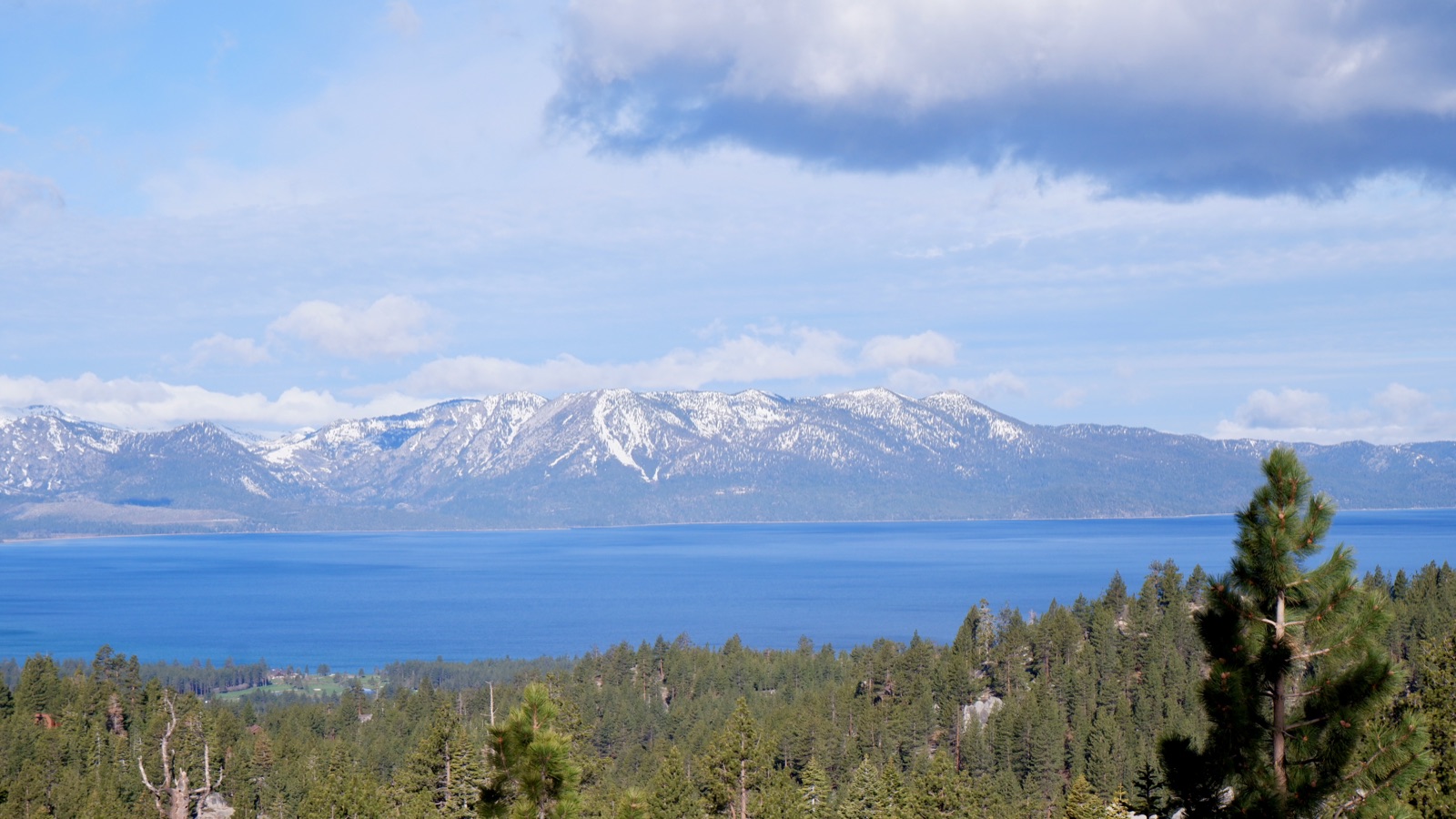
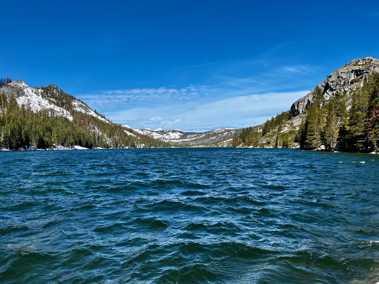
After a brief stop in Sacramento to stretch our legs we arrived back home. All told, we drove 9,017 miles, 1,800 of them electric (we have a plugin hybrid car).
I might write another post with some summary thoughts, but for now - thank you to all of you who have followed along and have encouraged me to continue and write, it meant a lot!